


Quick Adventure Facts:
Who - Joe (see gear list), Matt (see gear list) & Will
What - The "W" Circuit
When - January 27th to January 31st 2017 | 5 Days
Where - Torres del Paine National Park - Chile | map, .gpx, .kml *
Trail Overview
Trail
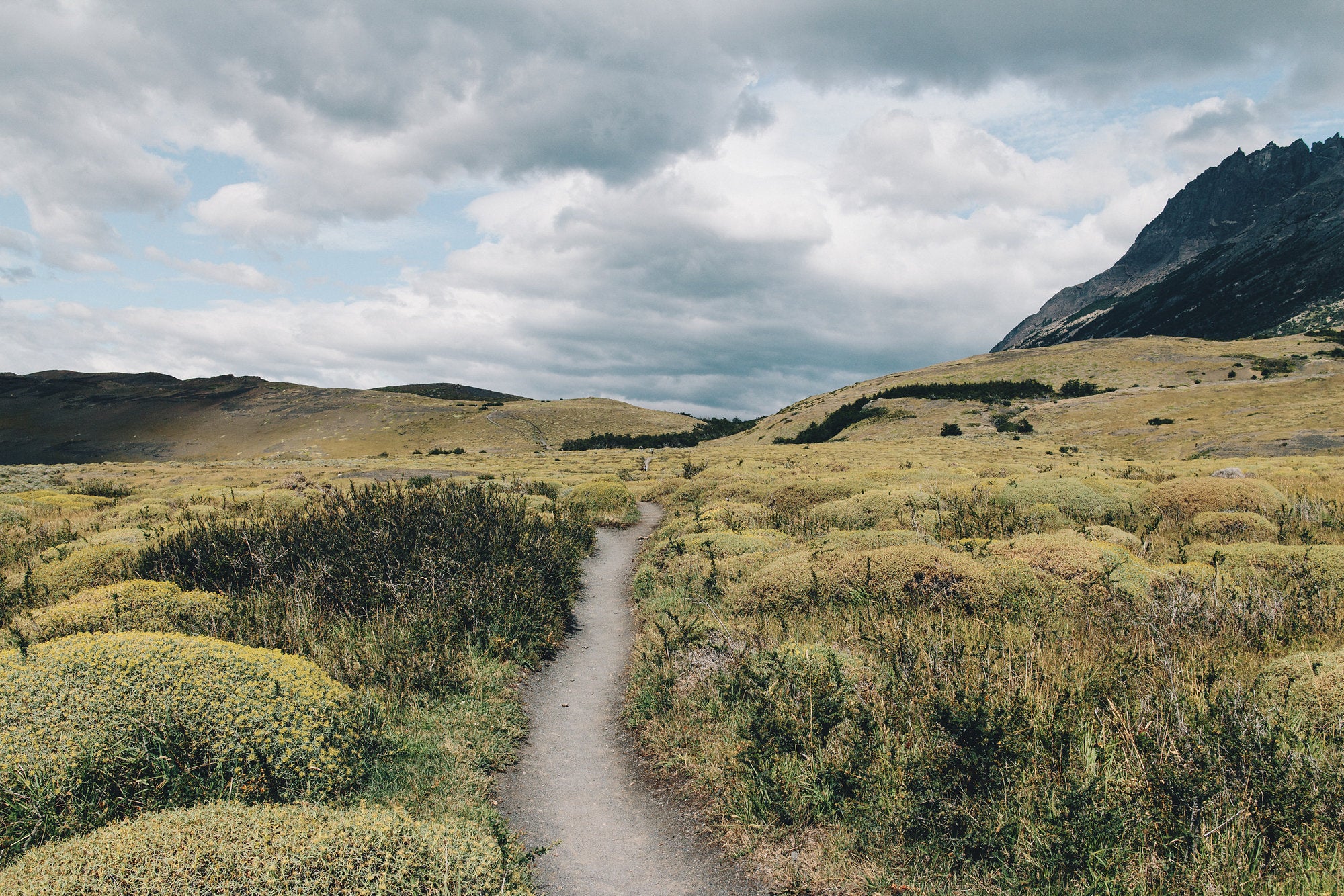
Torres del Paine National Park in the Patagonian portion of Chile is home to a series of hiking trails which can be strung together. The most popular sections can be connected to form the "O" Circuit, the "G" Circuit, or the very popular "W" Circuit.
LengthThe length of the entire trip varies depending on which route and refugios/campsites you stay at. The length of our "W" Circuit was roughly 42 miles not including a large portion of backtracking we were required due to lodging constraints.
TerrainThe trails in the park are well maintained, well marked, and easy to follow. There are some steep sections, big climbs, and some rocky sections that might be tricky in wet weather. Overall it is pretty moderate and you'll probably be too busy looking at all the amazing views to notice the hard parts.
WeatherThe Patagonia summer provides your best chance for decent weather. That being said, the weather in Patagonia is unpredictable. It can be sunny one minute and then switch, with little to no warning, to an intense rain storm with ferocious Antarctic winds. Temperatures can fluctuate through the day from the high 60's to upper 40's with night time lows in the 30's.
Timing
The optimal time to hike in Torres del Paine National Park is from November to early March. As the window of time to enjoy this amazing landscape is brief, expect to be in the company of a large amount of likeminded adventurers.
There are two things to take into considerations when heading to Torres del Paine National Park:
1) Getting There -
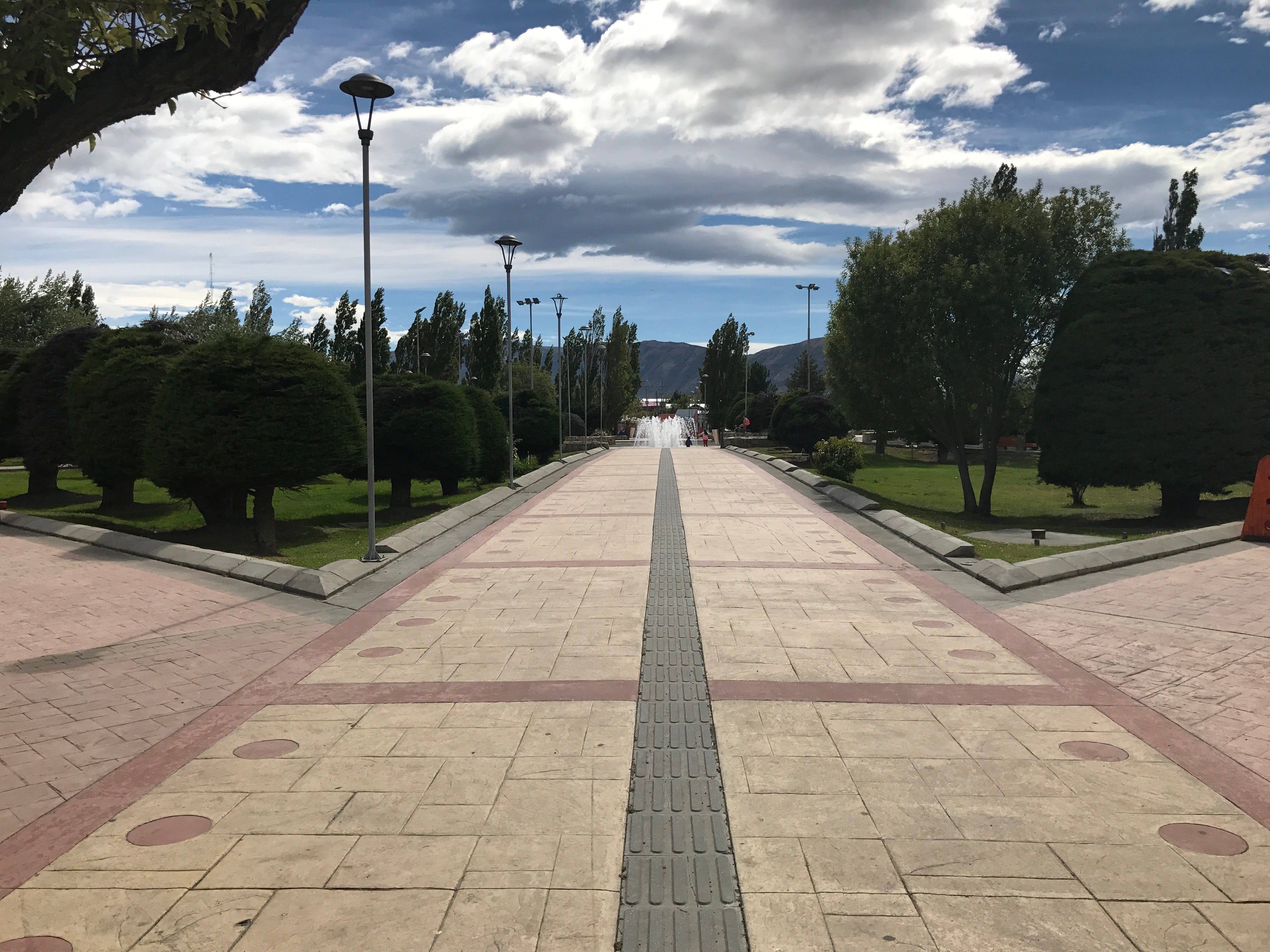
We flew to the town of Punta Arenas, Chile, and from there took a bus about 3.5 hours north to Puerto Natales. Puerto Natales is a small seaside town with many hostels and restaurants and a laid back atmosphere. It is a great place to spend a day before and/or after your trip. You'll probably meet some friendly street dogs which roam free throughout town.
From Puerto Natales you will need to take another bus about 2 more hours north to the Torres del Paine park entrance. From there it is another short shuttle to the "Refugio Las Torres Central" area. There are several lodges, camping, a camp store, and a restaurant in the vicinity. We started and ended our walk there.
If you are doing the "W" instead of the full circuit, there is a ferry that you can take across Lago Pehoe, and a bus that will take you from there back to the entrance area. Or you can take a ferry across Lago Grey and catch a bus to the entrance from there.
2) Accommodations -
As of the 2017 season you MUST make lodging reservations ahead of time to enter the park for anything other than day trips, and you must have camping reservations to enter the back parts of the park. If you wish to do the full "O circuit" you must have camping reservations for either Refugio Dickson, or the Los Perros campsite. Reservations fill up fast and if you don't have one they will not allow you to enter the back part of the park. You also need reservations ahead of time for every night you intend to be in the park.
You might be thinking you can get away with stealth camping, or that there won't be much enforcement. In many other popular destinations around the world, and in the US it is sometimes rare to run into a ranger beyond the park entrance. Not so here. They have park guards stationed at checkpoints throughout the park, and they will grill you on your itinerary and make you show your reservations. If you do not have them they will turn you back or escort you out of the park. If you show up at the front gate too late in the day and do not have overnight reservations you don't get in.
We didn't realize how strict the requirements were, and we were not able to make camping reservations for the back side of the "O" circuit before our trip. We were able to complete most of the circuit by piecing together camping and Refugio reservations from Camp Seron in the East, to the top of John Gardner Pass in the West. The only reason we were able to climb John Gardner pass from the west (clockwise) is because we started super early and the Camp Paso guard allowed me to go up and back as a day trip. Totally worth it- looking down on Grey Glacier from above was the highlight of the trip.
The Torres del Paine park is a tourist destination complete with many lodges, Refugios (hostels), and camping. The Refugios and lodges offer showers, meals, sometimes a bar, and sometimes Wifi. It is not a wilderness experience although it is a stunning landscape.
Many of the campsites and Refugios are privately run, and reservations need to be made with whichever company owns them. Fantastico Sur, and Vertice Patagonia are the main two and they can be booked online. A few of the campsites are run by the park service, CONAF, but it is harder to get those spots.
ResupplyThe Torres del Paine park has refugios spaced out every half day or so. Most of them serve meals and some have snacks or a camp store. You don't have to carry much food if you are willing to pay for food as you go, though it is fairly expensive.
If you do the back side of the "O" circuit you'll need to carry food for that couple day section, but there is a camp store and meals at Refugio Gray. Those looking to bring food into the park can purchase some in Puerto Natales which has a handful of markets.
GearTypically, a standard 3 season set up like Joe, Matt and Will used will work well on for the "W" or "O" Circuits. You can check out Joe's gear list here and Matt's here.
Trip Report
By: Matt Favero
What adventurer doesn’t dream of hiking in Patagonia in one day? This was a hike that had been on our list for quite some time and we were excited that we finally found the time to make it happen.
Prior to 2017, you could just show up to Torres del Paine National Park in Chile without reservations and hike to your hearts content. It didn’t take long before word got out and overcrowding became a serious issue. The park then set a cap on the amount of daily visitors which required everyone to make reservations well in advance.
When I was setting out to plan this hike, I did a ton of research. My trail name is “Details” after all. Somehow in all of my research, I missed the little message on the park’s website notifying everyone of the change and I continued to operate on outdated info.
A week before we were set to leave, I stumbled upon the updated info and immediately went into a panic mode. We had purchased plane tickets, booked bus tickets and reserved hostels. What were we going do? Luckily, Samurai Joe was able to find accommodations inside the park. It would require us to do an unorthodox route but we were still going to be able make the hike.
On January 25th, Samurai Joe, Red Beard, Hardcore Steff, myself and our good friends Chair and Wang all boarded a plane in Orlando headed for Chile. During our layover in Santiago, we learned that much of the country was engulfed in forest fires which had filled the air with thick smoke. Fortunately, the area we were headed was not affected.
After a lengthly layover, complete with the constant banging of construction, we boarded a plane just before 11pm headed to Punta Arenas. The city lays on the Straight of Magellan and is recognized as being the southern most city in the world.
We landed in Punta Arenas just before 5am and settled in to wait for our 7am bus. While we waited, we met some other people headed to TDP as well. We chatted the best we could despite the language barrier and filled up on snacks and coffee.
When the bus arrived, I noticed that our bus tickets were for the wrong day! Details strikes again. Luckily, the bus driver didn’t seem to care. I’m not sure if it was the language barrier or indifference but he let us board the bus and we were on our way.
We had a three hour bus trip to the unofficial staging town for the Torres del Paine National Park, Puerto Natales; also a popular destination for boats touring the Patagonian fjords. The trip took us along the Ruta del Fin del Mundo which translates to “End of the World Route.” The landscape was barren, mostly flat, and all but treeless. As the trip continued, random hills and mountains began to appear in the distance.
When we finally rolled into town, we began wandering around; one part lost and a little bit of impromptu exploring. Puerto Natales is full of friendly stray dogs and it didn’t take long before one joined our pack and started to follow us through the streets. Eventually, we made it to our hostel and then set out to see the sites and resupply.
There were a couple of decent places to stock up on food. We really only needed snacks as most of the refugios served food, drinks and snacks. We had an amazing meal at the Mesita Grande pizzeria before heading back to the hostel.
Most of the crew headed back out for a night on the town. After making friends with a boat crew from Australia and drinking to celebrate Australia Day, everyone was feeling pretty good. The good times dragged on late into the night.
When we woke up in the morning to catch the bus to TDP, a few of crew were feeling the effects of the night before. Nevertheless, we all packed up and boarded the bus for the little over an hour bus ride into the park.
We arrived to the park in what turned out to be a caravan of buses. As the cold air blasted us and a gentle rain began to fall, we quickly took our place in the queue to take the fire class and officially get our permits. The fire class is require for all those who enter TDP, as large portions of the park were lost to fires from careless campers and their stoves.
After the class, we hopped aboard a little shuttle which would take us to the most popular starting area. The area had a handful of refugios, a fancy hotel, and even a legitimate Patagonia store; complete with its own horse. True Story.
We had a delicious meal (pizza) at Refugio Torre Central before beginning our climb up to the highlight of the entire park, the Torres. The trail was relatively flat for a mile or so before the ascent began.
The climb was fairly steep and pretty relentless. It just kept going and going as the Patagonian sun beat down us. Eventually, the trail crested over the edge of a valley and leisurely made its way down to the first refugio on the the route, Refugio Chileno, where we took a break to wait for Steff who had fallen behind.
When Steff showed up and she had made friends with a group of Chileans who were hiking at more of her pace and she decided to continue hiking with them. We stocked up on water and then began heading to the Torres. The trail was fairly mellow after the refugio and we casually made our way down the trail for a couple of hours.
The trail eventually comes to one of the few, park run, campsites on the trail before beginning its ascent to the Torres. The climb is a steep rocky scramble that challenges hikers before the final review of the majestic towers. After roughly 45 minutes of climbing, we crested the top of the trail which gave way to the world renowned Torres; reflecting off the the emerald green lake at their base.
It’s not often that I am totally awestruck but a view but this is one of those times. Standing there taking in the beauty of this amazing landscape was overwhelming and humbling. We all took pictures, braved the insane wind and just smiled. The experience on its own would be a highlight in anyones life but to share it with close friends only made it better.
After a half hour or so, we began our slow return to the cluster of refugios at the beginning. As our itinerary required creativity to be able to complete the “W,” we had to do a little backtracking and couldn’t continue further down the trail.
When we got back to the refugio, we waited for Steff to join us. Just before dark, she returned with horrible news. When she went to begin her climb up to the towers, a park ranger stopped her. For safety, they don’t let people begin their climbs after 5pm. Not only that, at 5pm they also send another ranger up the trail towards the tower. If he catches you before you reach the top, he makes you turn around. She had missed her chance by a little less than a half hour!
The next morning, we got up, had breakfast and began a fairly easy day to our nights accommodations; Domos Frances. The trail stayed low the majority of the time and featured very little climbing.
We spent a lot of time walking past beautiful lakes and even along some shoreline for a brief moment. We took a nice break at Refugio Los Cuernos before making the final push to Domos France; an ecnclave of green geodesic domes along the coast of Lago Nordernskjöld.
As we arrived early, we had plenty of time to take a shower and a nap. Each bunk had its own power outlet, which meant we could charge our phones. We discovered an added bonus when the sun went down and a wifi network magically appeared. We were able to contact our families, post pictures and waste our time on social media.
We woke up knowing that the next day was to be a fairly easy one. A byproduct of our “creative” route had us staying in Domos for yet another night. Our plan was to slack pack all the way up the French Valley and then return in time for yet another nap.
The trail started off much in the way it had ended the day before; gentle and easy. Joe and I quickly made our way to Campemento Italiano before taking a break to wait for the rest of the crew. I sipped Chilean mate tea with the rangers while trying to communicate in Spanish the best I could.
Once everyone arrived we began our climb up the French Valley. The trail immediately turned into a rocky scramble. We climbed over big rocks and made our own path as there didn’t appear to be much of an official one. Soon the skies began to open and the cold and wet Patagonian weather began to slowly fall.
We made it to the first mirador (view point), Mirador Francés and took in the views. I had once seen a video of an avalanche on the other side of the mountain cover this very spot with snow. It was so windy that Joe’s signature pointy hat blew right off his head. Luckily, Chair was there to catch it.
Joe and I continued ahead and the trail turned into a trail once again and we were able to make fairly good time to the last spot on the trail, Mirador Británico. The views from high up the valley were spectacular. You could hear chunks of ice breaking free from the tops of the cliffs and tumbling down through the valley creating a rumbling thunder.
The clouds soon set in, the rain picked up and the views disappeared. Joe and I began our retreat down the mountain where we ran into the rest of the crew still making their way up the valley. The rain was really coming down at this point and everyone was pretty soaked. Steff showed up in her oversized prototype Vertice Rain gear and looked miserable.
I was relieved that our route called for a short day as I wasn’t feeling too enthused about hiking in cold rain all day. I quickly dried off when we got back to the Domos and took a long nap before dinner. It was nice to have such an easy day.
The next morning the weather had cleared and we made our way to our first break spot, Refugio Paine Grande. The trail took us back to Campemento Italiano before crossing an awesome suspension bridge. The trail continued on for about 2 more hours before we made it to the refugio.
This refugio had the best store of any of the others. I was able to buy some snacks and a soda and enjoy our break. We even saw a fox and her pup and took pictures before heading further down the trail.
As soon as we left the refugio, the trail meandered through a tight valley. The wind really started to pick up speed and the temperature dropped. My legs were getting blasted with Antarctic cold and my shorts weren’t doing much to keep me warm.
Eventually, we left the valley and made it to the Mirador Grey lookout. The views of Lago Grey were beautiful and we could see some icebergs floating in the water. The wind was still strong and cold and as we left the lookout the rain began.
We hiked in sideways rain for the better part of an hour before the rain slowly retreated. As we got closer to the refugio we started to get our first views of Glacier Grey; part of the Southern Patagonian Ice field, the world's second largest contiguous extrapolar ice field.
When we arrived at Refugio Grey we were muddy and soaked but we just officially completed the “W” Circuit! We left our shoes near the entrance and quickly dried off and changed. The refugio had a fairly large dinning hall and we all spent the evening laughing and enjoying each others company.
The next morning, Will, Chair, Steff and Wang all took the glacier boat tour from the refugio while Joe and I hiked closer to the glacier. We crossed sketchy suspension bridges and had sick views. Joe continued on after I turned back to catch a boat back to civilization. He eventually climbed to the top of John Garner pass, the highest point on the “O” circuit, before turning back around.
My boat dropped me off at a cafe to wait for the bus back to the beginning. When the bus arrived, Will, Chair, Steff and Wang were on it! Will, Chair and I decided to head back to Puerto Natales while Steff and Wang stayed in the park.
The next day Steff was able to complete her climb to the Torres and Wang and Joe hiked counter clock wise to Campemento Serón for the night. We all met back up in Puerto Natales the next day before returning to Punta Arenas to begin our journey home.
This was, hands down, one of my favorite hikes ever. The scenery, the trail, the language, the culture and the people were all absolutely amazing. If you ever get a chance to make this hike a reality, I highly recommend you take it.
*All provided navigation files are made available as a planning resource with the understanding that data is provided with no warranties, expressed or implied, concerning data accuracy, completeness, reliability, or suitability. Zpacks shall not be liable regardless of the cause or duration, for any errors, inaccuracies, omissions, or other defects in, or untimeliness or unauthenticity of, the Information, or for any delay or interruption in the transmission thereof to the user, or for any Claims or Losses arising therefrom or occasioned thereby. The end user assumes the entire risk as to the quality of the data.
