


Quick Adventure Facts:
Who - Matt (see gear list) & Will
What - The Long Trail
When - May 31st to June 19th 2018 | 20 Days
Where - Vermont | map, .gpx, .kml *
Trail Overview
Trail
Conceived in 1909, The Long Trail is the oldest long distance hiking trail in the United States. Construction started in 1910 and the entire trail was finished in 1930. The trail runs north and south for the entire length of Vermont from the Massachusetts border to the Canadian Border.
LengthRunning along the main ridge, The Long Trail takes hikers over most of the Green Mountains' major summits, including Glastenbury Mountain, Stratton Mountain, Killington Peak, Mount Abraham, Mount Ellen, Camel's Hump, Mount Mansfield, and Jay Peak as it makes it was 273 miles north to the Canadian Border. The Appalachian Trail shares the southernmost 100 miles of The Long Trail, which served as Benton MacKaye’s inspiration for the AT.
TerrainThe Long Trail shares many similarities with the AT in that there is a lot of rocks, roots, step climbs and descents. The trail is well known for being muddy, especially in early summer. Once the trail leaves the portion it shares with the AT, it becomes even more rugged regularly requiring ladders to traverse the steeper sections of trail.
WeatherThe weather in the summer can be very rainy with mild day time highs and lows in the 40’s. As fall approaches the rain subsides and the temperatures cool as the leaves begin to change.
Timing
The ideal time to hike the Long Trail is in late summer or early fall. The temperatures are cooler, there is less mud and the mosquitoes and black flies have all but subsided.
Getting to and from each terminus will require some work. Neither are particularly close to a major city and both require extra miles of hiking. You can book shuttles to/from each terminus from Burlington with a little research.
There a plenty of shelters, huts and places to camp along the trail.
Resupply
There are a handful of places where you can hitch hike into towns to resupply. Popular resupply locations are Manchester Center, Rutland, Killington & Waterbury.
You can also stop in for a meal at Stowe Mountain Resort or take the ski lift down from Jay Peak for a meal on a day with good weather.
GearTypically, a standard 3 season set up like Matt and Will used will work well on the the Long Trail. You can check out Matt's gear list here.
Trip Report
By: Will Wood
On May 31st, 2018 we started our hike heading northbound out of the town of North Adams, Massachusetts on the Appalachian Trail to the start of the Long Trail. The Long Trail starts at the southern border of Vermont and runs all the way to the northern border with Canada. The trail is roughly 270 miles long and would take us 21 days to complete.
What a hike this was. I would personally consider this trail the most physically demanding hike that I have ever completed. Like the Appalachian Trail you care constantly climbing and descending with very little switchbacks and the terrain, especially in the northern section, is extremely unforgiving.
We broke the hike up into three sections with 2 different resupply points. The first section was roughly 104.5 miles in length from the southern terminus to Rutland, Vermont. For this entire section the Long Trail coincided with the Appalachian Trail and was much less difficult providing plenty of time to warm up for the tougher sections that were come.
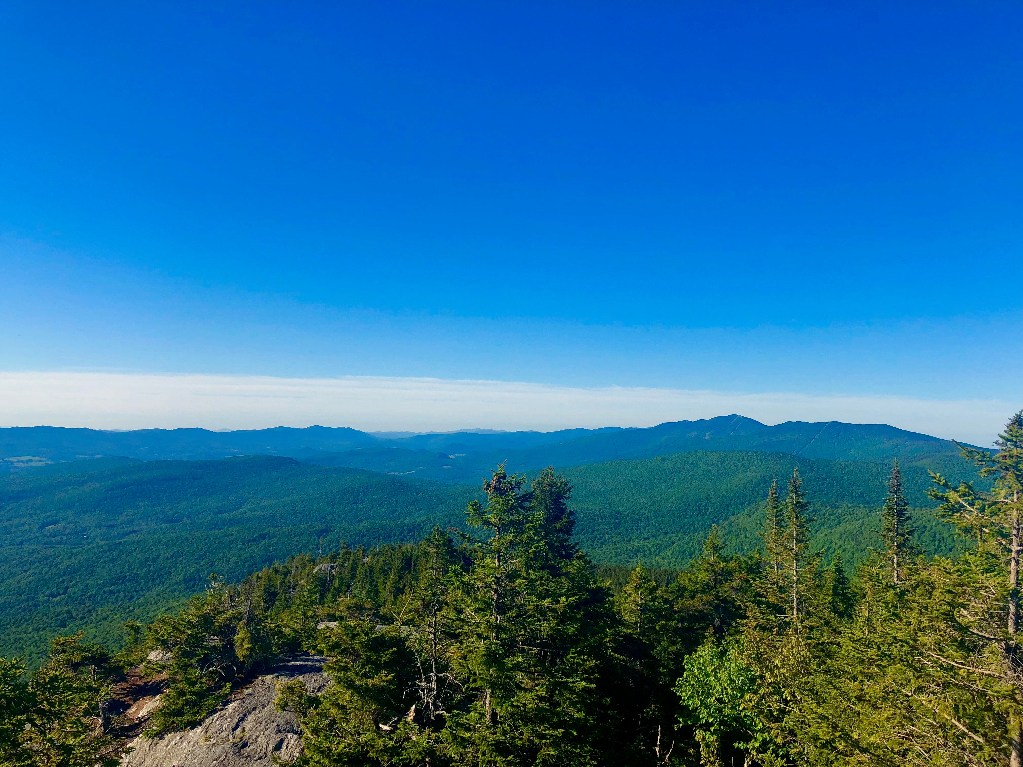
There were many great mountain tops during the course of the first 100 miles including some incredible fire towers. The highlight was Glastenbury Moutain where the views from the fire tower were incredible. You also hit the top of Stratton Mountain where the idea of the Appalachian Trail was first conceived. At the end of the section we hitchhiked down into the town of Rutland, Vermont for our first resupply and stayed at the famous Yellow Deli Hostel. We made sure we arrived to town early so we could spend the day resting before heading back out the next day.
The second section was 79.9 miles in length from Rutland to Waterbury, Vermont. Shortly upon arriving back on trail the AT and the Long Trail say goodbye and the Long Trail almost immediately becomes more difficult as the foot traffic dissipates and the climbs become ever more frequent. The forest however was beautiful and we passed many ponds that were filled with wildlife.
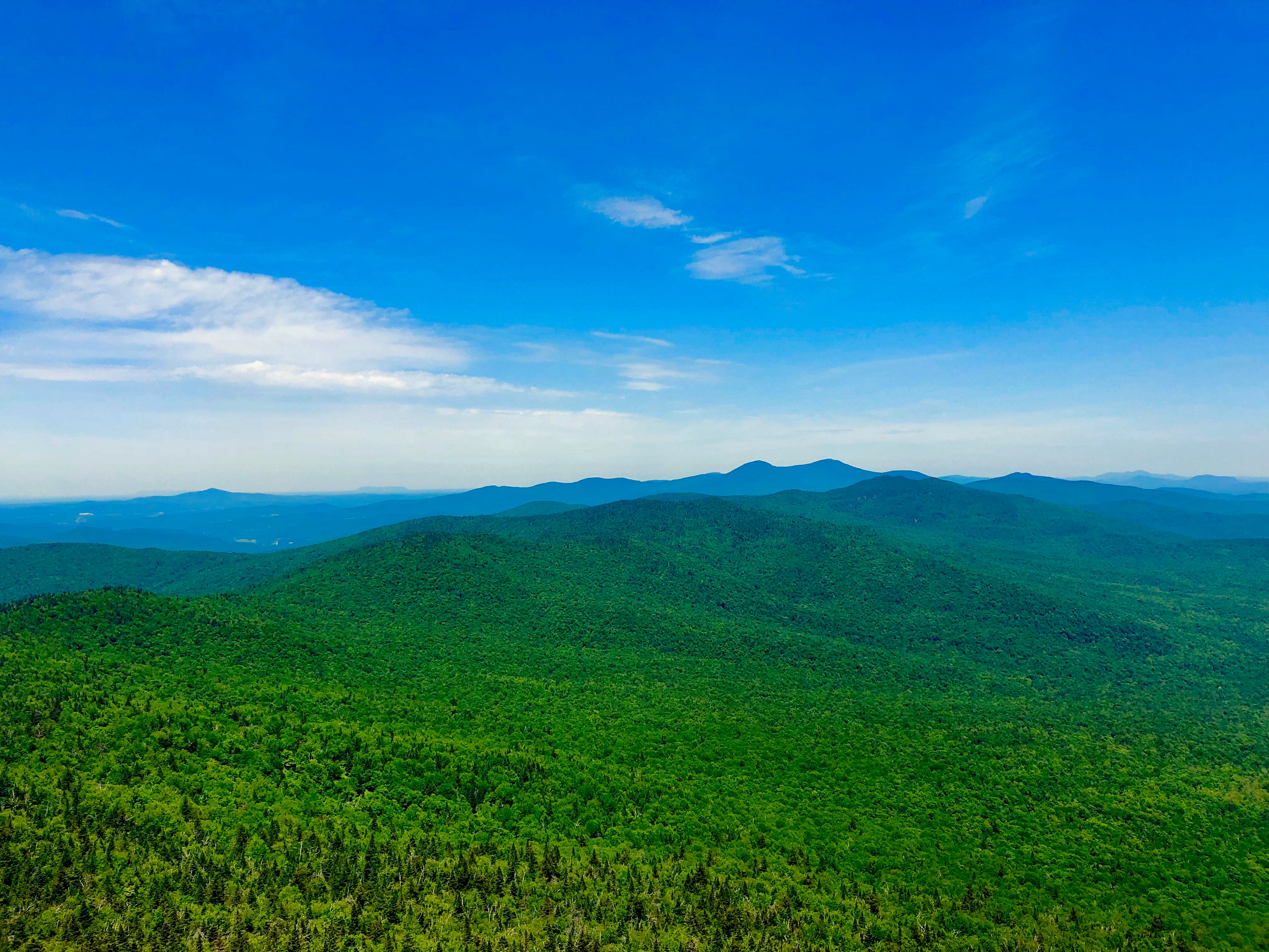
The highlight of the second section was no doubt Camel’s Hump. Camel’s Hump is the third tallest mountain in the state at 1,244m/4,083’ and is the highest undeveloped mountain in the state as most of the taller mountains in Vermont have ski resorts built on them. The views from the top were incredible and it proved to be one of my favorite mountains of the entire hike. We finished this section with a quick hitch into the beautiful town of Waterbury which also happens to be the headquarters of Ben & Jerrys Ice Cream, this town was most definitely picked specifically for this reason far in advance.
The third and final section was 86.2 miles in length and would prove to be the hardest section of the hike. The terrain would become much more extreme and we noticed our pace greatly affected by this. We climbed the tallest mountain in the state of Vermont during this stretch Mt Mansfield at 1,340m/4,395’ in elevation. The weather that day was crazy with super strong winds and a ton of rain making our climb up and over quite slow. We did however decide to stay that night at Stowe Mountain Resort which was be far one of the best decisions of the hike. It was nice to be able to dry off in such a beautiful hotel and get clean before finishing the rest of the journey.
The northern terminus of the Long Trail is a great finishing spot. After such a demanding trail it is incredible to arrive at the border with Canada and the monument. We couldn’t have asked for a better adventure and the hike from end to end of the incredible state of Vermont is one that we will truly never forget!
*All provided navigation files are made available as a planning resource with the understanding that data is provided with no warranties, expressed or implied, concerning data accuracy, completeness, reliability, or suitability. Zpacks shall not be liable regardless of the cause or duration, for any errors, inaccuracies, omissions, or other defects in, or untimeliness or unauthenticity of, the Information, or for any delay or interruption in the transmission thereof to the user, or for any Claims or Losses arising therefrom or occasioned thereby. The end user assumes the entire risk as to the quality of the data.
