


Quick Adventure Facts:
Who - Joe (see gear list)
What - Appalachian Trail Thru-hike
When - May 17th to October 7th 2004 | 142 Days
Where - Georgia to Maine | map, .gpx, .kml *
Trail Overview
Trail
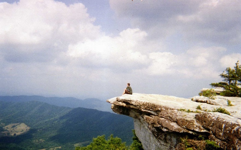
With a southern terminus at the Springer Mountain submit in Georgia, the Appalachian Trail slowly winds through the backbone of the Appalachian Mountain range a it heads to the top of Mount Katahdin in Maine and its northern terminus. The AT, as its called, is undoubtedly, the most famous long distance hiking trail in the world.
LengthThe Appalachian Trail spans roughly 2,174 miles (3,499 km) across 13 states as it heads from Georgia to Maine.
TerrainThe AT is notoriously wet and can be muddy and rocky in some sections. Physically the AT is quite challenging. It can be steep and rugged, and it constantly climbs up and down hills and mountains, often for no reason at all.
Most of the trail is under tree cover but there are some sections that are above tree-line. It can be mentally wearing. You can walk for days under trees without much of a view, or be wet for days at a time.
The AT provides hikers with a full three seasons of weather. Some hikers can experience sub-freezing temperatures and snow near the beginning if they start too early. Others may experience snow fall at the end of their hike if they finish later in the season. The middle states are usually hot and humid in the summer and full of rain, sometimes for days at a time.
TimingMost people who hike Northbound start the AT in March or April and take 5 to 6+ months to complete it. It is best to finish before mid-October when the snow starts in New Hampshire and Maine. Southbounders usually start near the end of June to avoid black flies and the crowds. Most Southbounders complete their hikes between the end of October and Thanksgiving.
LogisticsLogistically the AT is one of the easiest trails because there are many other people around to help, and resources are not far apart. The AT has lean-to style shelters every 5-10 miles so you don't always have to camp, and water sources are generally plentiful. The AT is a very well established trail, most of it is well marked and easy to follow. You can get by without a map or compass.
Getting to the Southern Terminus is fairly easy due to it's proximity to Atlanta. Hikers can usually hitch a ride from Baxter State park, at the end, into town where you can catch a bus into Boston.
Trail towns and resupply are generally about 3-5 days apart. The longest section, the "100 mile wilderness" in Maine can be done in 6 or 7 days.
GearOn the AT you need to be prepared for temperatures from a bit below freezing to hot and humid. You could get light snow and you can hike with temperatures in the 90's. It probably will rain every other day. Luckily, there is an opportunity to send home cold weather gear during the summer, and pick it up again up North when the temperatures start to drop again.
Trip Report
By: Joe Valesko
When I did the AT I was a broke kid just out of school. I was into making my own gear but had not started Zpacks yet. I carried a homemade backpack and tarp-tent made of Sil-nylon. My tent was a little bit too short for me and my pack often needed repairs.
I had a homemade 20F down quilt that was a little bit too narrow, with no closure on the bottom.
My rain gear was a homemade nylon wind shirt worn under a trash bag with holes at the arms and neck. I hiked in board shorts and when it rained I got wet.
My gear may not have been particularly good, but my base weight (all gear not including food and water) of about 8 lbs was incredible at the time. I picked up the trail name "Lightweight Joe" for the AT. I could have hiked much more comfortably, and even lighter with modern ultralight gear!
If I was going to do the trail again, I'd take my current 3 season set up. You can check it out here.
*All provided navigation files are made available as a planning resource with the understanding that data is provided with no warranties, expressed or implied, concerning data accuracy, completeness, reliability, or suitability. Zpacks shall not be liable regardless of the cause or duration, for any errors, inaccuracies, omissions, or other defects in, or untimeliness or unauthenticity of, the Information, or for any delay or interruption in the transmission thereof to the user, or for any Claims or Losses arising therefrom or occasioned thereby. The end user assumes the entire risk as to the quality of the data.
